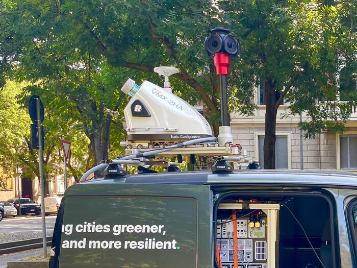
Over the past weeks, extreme heat and intense storms have once again demonstrated how climate change is placing unprecedented stress on urban infrastructure and public safety. In response, several Italian municipalities are turning to innovation adopting a digital tree census via the GreenSpaces platform, powered by greehill technology. Each tree is mapped and monitored as a digital twin, enabling smarter and data-driven urban forestry.
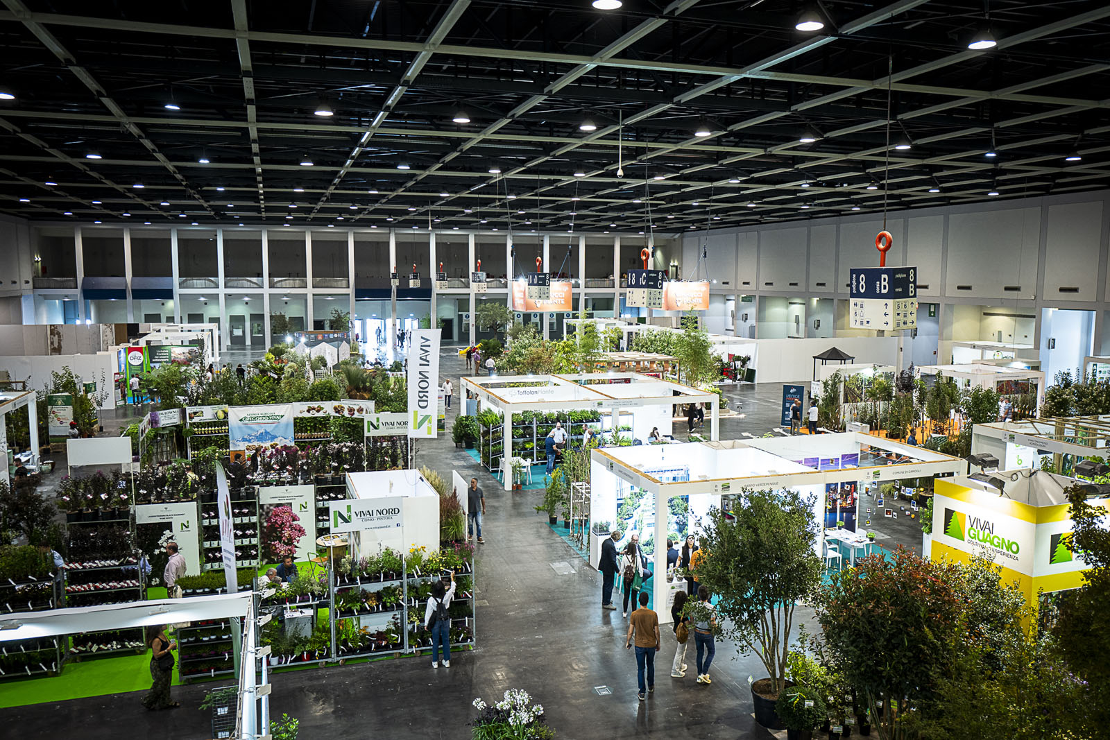
At MyPlant & Garden 2025 last March, the cities of Comune di Parma and Padua shared their experience after one year of using the integrated platform. Their results highlight how precise geolocation and biometric data collection support accurate ecosystem service assessments and long-term intervention planning. The system has improved the monitoring of heritage trees, supported genetic conservation, and shifted city workflows from reactive to proactive management. Digital twins have proven valuable for urban design, for example by realistic tree space simulations, for responding objectively to citizen reports, and even in civic advocacy such as demonstrating the loss of ecosystem services when trees are removed.
The technology has also shown potential as a pre-screening tool for comparing scans with field-based stability assessments, improving early risk evaluation.
Recently, Comune di Milano has joined the movement. In late June 2025, the city launched a pioneering 3D census of 30,000 street trees, funded by the EU Metro Plus program. The first insights are emerging, and more cities are preparing to follow. What new opportunities will this technology unlock for urban green management? The coming months will be revealing. Stay tuned.
For further reading on how Milan and Siena are leveraging digital innovation in urban forestry, check out these articles:

